
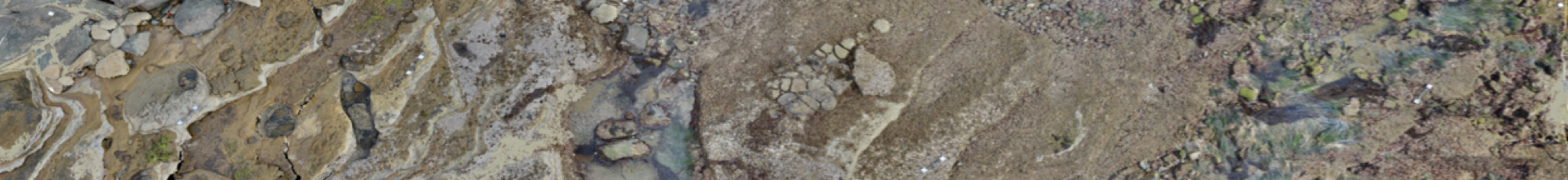
Viscore is a unique software developed by Vid Petrovic as part of the ongoing efforts of the Cultural Heritage Engineering Initiative (CHEI) that enables the TIDES project team to capture unprecedented levels of detail and data from 3-dimensional (3D) habitat maps of the rocky intertidal. Viscore provides a user-friendly interface and immersive virtual reality experience of the ecosystem that is directly linked with the raw images, from which species-level biological data can be extracted.
Within the Viscore platform we can establish virtual quadrats for intensive study of the systems that would otherwise not be possible in the limited time span of a tidal cycle. Using Viscore we can extract percent cover data over hundreds of square meters of the benthos, as well as measure and track the size of individual organisms or patches of colonial species through time.
Other programs at UCSD utilizing the Viscore technology include the 100 Island Challenge, CHEI, the Smith Lab, and the National Oceanic and Atmospheric Administration (NOAA). In addition to the assessment of community composition, Viscore allows our team and these programs to implement a wide range of analytical and visual applications, such as rugosity (a measure of physical habitat complexity), 3D fly-through videos, and interactive virtual reality experiences. Viscore provides the opportunity for anyone, anywhere to visit these incredible ecosystems that many would otherwise not be able to access first hand.
The Viscore software is continuously being updated and developed by Vid Petrovic as part of the ongoing efforts of CHEI, which means that TIDES Project partners can contribute to its ongoing development. This process enables us to work collaboratively and ensure that all of our partners’ goals are addressed as the capabilities of Viscore continue to expand.